Պատկեր:Usa edcp (+HI +AK) relief location map.png
Նախադիտման չափ՝ 800 × 495 պիքսել։ Այլ թույլտվությաններ: 320 × 198 պիքսել | 640 × 396 պիքսել | 1024 × 634 պիքսել | 1280 × 792 պիքսել | 2000 × 1238 պիքսել.
Սկզբնական նիշք (2000 × 1238 փիքսել, նիշքի չափը՝ 2,03 ՄԲ, MIME-տեսակը՝ image/png)
Ամփոփում
| Նկարագրում |
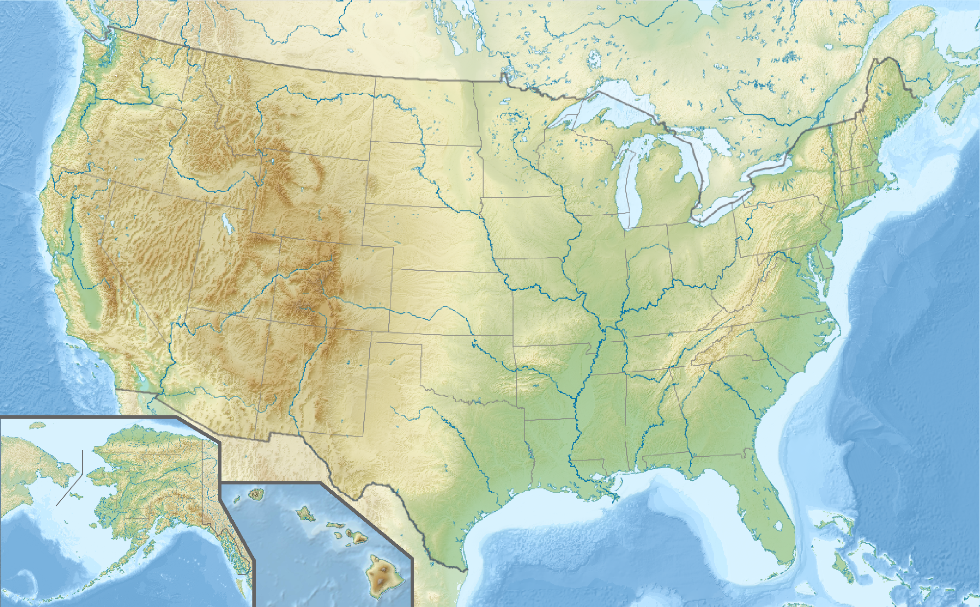
English: Location map of the USA (Hawaii and Alaska shown in sidemaps).
Main map: EquiDistantConicProjection : Central parallel : * N: 37.0° N Central meridian : * E: 96.0° W Standard parallels: * 1: 32.0° N * 2: 42.0° N Made with Natural Earth. Free vector and raster map data @ naturalearthdata.com. Formulas for x and y: x = 50.0 + 124.03149777329222 * ((1.9694462586094064-({{{2}}}* pi / 180))
* sin(0.6010514667026994 * ({{{3}}} + 96) * pi / 180))
y = 50.0 + 1.6155950752393982 * 124.03149777329222 * 0.02613325650382181
- 1.6155950752393982 * 124.03149777329222 *
(1.3236744353715044 - (1.9694462586094064-({{{2}}}* pi / 180))
* cos(0.6010514667026994 * ({{{3}}} + 96) * pi / 180))
Hawaii side map: Equirectangular projection, N/S stretching 107 %. Geographic limits of the map:
Alaska side map: Equirectangular projection, N/S stretching 210.0 %. Geographic limits of the map:
|
| Թվական | |
| Աղբյուր |
Բեռնողի սեփական աշխատանք This image includes elements that have been taken or adapted from this file: This image includes elements that have been taken or adapted from this file: This image includes elements that have been taken or adapted from this file: This image includes elements that have been taken or adapted from this file: This image includes elements that have been taken or adapted from this file: This image includes elements that have been taken or adapted from this file: |
| Հեղինակ |
TUBS |
| Այլ մեկնակերպներ |
|
| PNG genesis | Սա PNG graphic ստեղծված է եղել Adobe Illustrator օգնությամբ: . |
_location_map.svg)
_relief_location_map.png)
_relief_location_map.svg)
_relief_location_map.png)
Արտոնագրում
Ես, սույն աշխատանքի հեղինակային իրավունքների տերը, այսուհետ այն հրատարակում եմ հետևյալ արտոնագրի ներքո։
Այս նիշքը հասանելի է Creative Commons Attribution-Share Alike 3.0 Unported արտոնագրի ներքո:
- Դուք ազատ եք՝
- կիսվել ստեղծագործությամբ – պատճենել, տարածել և փոխանցել այս աշխատանքը։
- վերափոխել – ադապտացնել աշխատանքը
- Պահպանելով հետևյալ պայմանները'
- հղում – Դուք պետք է նշեք հեղինակի (իրավատիրոջ) հղումը:
- համանման տարածում – Եթե դուք ձևափոխում եք, փոխակերպում, կամ այս աշխատանքի հիման վրա ստեղծում եք նոր աշխատանք, ապա ձեր ստեղծածը կարող է տարածվել միայն նույն կամ համարժեք թույլատրագրով։
Նիշքի պատմություն
Մատնահարեք օրվան/ժամին՝ նիշքի այդ պահին տեսքը դիտելու համար։
| Օր/Ժամ | Մանրապատկեր | Օբյեկտի չափը | Մասնակից | Մեկնաբանություն | |
|---|---|---|---|---|---|
| ընթացիկ | 15:50, 24 Հոկտեմբերի 2013 | | 2000 × 1238 (2,03 ՄԲ) | TUBS | == Summary == {{Information |Description={{en|1=Location map of the USA (Hawaii and Alaska shown in sidemaps). '''Main map''': EquiDistantConicProjection : Central parallel : * N: 37.0° N Central meridian : * E: 96.0° W Standard parallels: * 1: ... |
Նիշքի օգտագործում
Հետևյալ էջը հղվում է այս նիշքին՝
Նիշքի համընդհանուր օգտագործում
Հետևյալ այլ վիքիները օգտագործում են այս նիշքը՝
- Օգտագործումը als.wikipedia.org կայքում
- Օգտագործումը de.wikipedia.org կայքում
- Manhattan-Projekt
- Black Hills
- Rockwell B-1
- Yellowstone Lake
- Trinity-Test
- Hoover Dam
- Oak Ridge National Laboratory
- Sangre de Cristo Range
- Front Range
- Wasatchkette
- Uinta Mountains
- San-Juan-Gebirge
- Apache-Sitgreaves National Forests
- Coronado National Forest
- Chiricahua Mountains
- Guadalupe Mountains
- Oquirrh-Gebirge
- La Sal Mountains
- Medicine Bow Mountains
- New Bullards Bar Dam
- New Melones Dam
- Raton Pass
- Hanford Site
- Golf von Maine
- Sandia Mountains
- World Series 2006
- World Series 2005
- Vorlage:Positionskarte USA
- Kategorie:NASCAR-Rennstrecke
- World Series 2007
- Blue Mountains (Pazifischer Nordwesten)
- Coast Guard Island
- Vorlage:Positionskarte USA Minnesota
- Vorlage:Positionskarte USA Kalifornien
- Vorlage:Positionskarte USA Florida
- Vorlage:Positionskarte USA Arizona
- Vorlage:Positionskarte USA Arkansas
- Vorlage:Positionskarte USA Colorado
- Vorlage:Positionskarte USA Connecticut
- Vorlage:Positionskarte USA Illinois
- Vorlage:Positionskarte USA Indiana
- Vorlage:Positionskarte USA Pennsylvania
- Vorlage:Positionskarte USA Texas
Տեսնել այս նիշքի ավելի համընդհանուր օգտագործումը:
_relief_location_map.png)
_relief_location_map.png)