Պատկեր:Indonesia Lesser Sunda Islands location map.svg

Սկզբնական նիշք (SVG-նիշք, անվանապես 1323 × 668 փիքսել, նիշքի չափը՝ 211 ԿԲ)
Ամփոփում
| Նկարագրում |
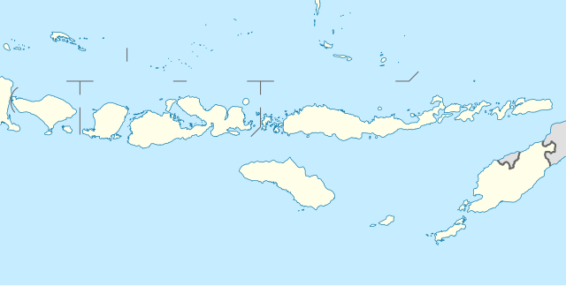
Quadratische Plattkarte, N-S-Streckung 101 %. Geographische Begrenzung der Karte:
Equirectangular projection, N/S stretching 101 %. Geographic limits of the map:
|
||
| Թվական | |||
| Աղբյուր |
Բեռնողի սեփական աշխատանք, using
|
||
| Հեղինակ | NordNordWest | ||
| Իրավունքներ (Նիշքի վերաօգտագործումը) |
This file is licensed under the Creative Commons Attribution-Share Alike 3.0 Germany license.
 This file is licensed under the Creative Commons Attribution-Share Alike 3.0 Germany license.
|
||
| Այլ մեկնակերպներ | Derivative works of this file: Corvus florensis range map.svg | ||
| SVG genesis | Այս մասշտաբավորելի վեկտորային գրաֆիկայի նիշքի ելակետային կոդը վավեր է. Սա վեկտոր գրաֆիկական պատկեր է ստեղծված է եղել Other tools օգնությամբ: .
|


Նիշքի պատմություն
Մատնահարեք օրվան/ժամին՝ նիշքի այդ պահին տեսքը դիտելու համար։
| Օր/Ժամ | Մանրապատկեր | Օբյեկտի չափը | Մասնակից | Մեկնաբանություն | |
|---|---|---|---|---|---|
| ընթացիկ | 11:33, 18 փետրվարի 2011 | | 1323 × 668 (211 ԿԲ) | NordNordWest | c |
| 20:08, 19 փետրվարի 2010 |  | 1323 × 668 (277 ԿԲ) | NordNordWest | =={{int:filedesc}}== {{Information |Description= {{de|Positionskarte der Kleinen Sunda-Inseln, Indonesien}} Quadratische Plattkarte, N-S-Streckung 101 %. Geographische Begrenzung der Karte: * N: 6.2° S * S: |
Նիշքի օգտագործում
Հետևյալ էջը հղվում է այս նիշքին՝
Նիշքի համընդհանուր օգտագործում
Հետևյալ այլ վիքիները օգտագործում են այս նիշքը՝
- Օգտագործումը az.wikipedia.org կայքում
- Օգտագործումը ban.wikipedia.org կայքում
- Օգտագործումը ba.wikipedia.org կայքում
- Օգտագործումը bn.wikipedia.org կայքում
- Օգտագործումը cs.wikipedia.org կայքում
- Օգտագործումը de.wikipedia.org կայքում
- Kuta
- Gili-Inseln
- Flores (Indonesien)
- Sumbawa
- Kupang
- Komodo (Insel)
- Lombokstraße
- Rinjani
- Kelimutu (Berg)
- Lembata
- Waingapu
- Wehali
- Laran
- Borong
- Fatu Sinai
- Sawu
- Solor
- Larantuka
- Labuan Bajo
- Atambua
- Semau
- Egon (Vulkan)
- Adonara
- Gili Meno
- Nusa Penida
- Wikipedia:Kartenwerkstatt/Positionskarten/Asien
- Gili Air
- Pantar (Insel)
- Atapupu
- Mena (Biboki Moenleu)
- Straße von Alor
- Penfui
- Batur (Vulkan)
- Vorlage:Positionskarte Indonesien Kleine Sundainseln
- Moyo (Insel)
- Poco Mandasawu
- Ende (Flores)
Տեսնել այս նիշքի ավելի համընդհանուր օգտագործումը: