Պատկեր:De wit 1680 monemvasia b.jpg
Սկզբնական նիշք (1836 × 1457 փիքսել, նիշքի չափը՝ 685 ԿԲ, MIME-տեսակը՝ image/jpeg)
| Նկարագրում |
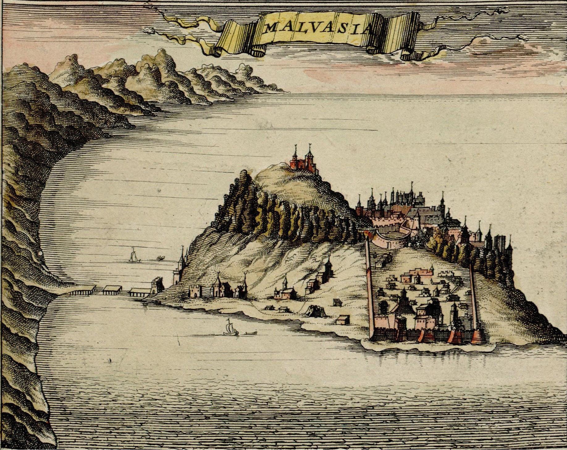
Monemvasia, at the time ruled by the Ottoman Empire, Map made by F. de Witt, Amsterdam, 1680, |
| Թվական | |
| Աղբյուր | http://historic-cities.huji.ac.il/greece/monemvasia/maps/de_wit_1680_monemvasia.html |
| Հեղինակ | F. de Witt |
| Իրավունքներ (Նիշքի վերաօգտագործումը) |
Public domain |
|
Այս պատկերում գտնվող երկչափ ստեղծագործությունը հանրության սեփականություն է ամբողջ աշխարհում հեղինակի մահվան ժամանակի, կամ առաջի հրատարակման պատճառով:
Այսպիսով, տվյալ վերարտադրումը նույնպես հանրության սեփականություն է: Դա վերաբերվում է ԱՄՆ-ում, Գերմանիայում և ուրիշ բազմաթիվ պետություններում ստեղծված երկերին:
| ||||
| Image taken from: http://historic-cities.huji.ac.il/greece/monemvasia/maps/de_wit_1680_monemvasia.html
Department of Geography, The Hebrew University of Jerusalem |
Նիշքի պատմություն
Մատնահարեք օրվան/ժամին՝ նիշքի այդ պահին տեսքը դիտելու համար։
| Օր/Ժամ | Մանրապատկեր | Օբյեկտի չափը | Մասնակից | Մեկնաբանություն | |
|---|---|---|---|---|---|
| ընթացիկ | 21:38, 9 Հոկտեմբերի 2006 | | 1836 × 1457 (685 ԿԲ) | Jkelly | Removed "copyright" watermark. |
| 18:19, 6 Սեպտեմբերի 2005 |  | 1836 × 1506 (1,32 ՄԲ) | Ulrichstill | {{Information| |Description = Monemvasia, at the time a venician city, Map made by F. de Witt, Amsterdam, 1680,<br> Beschreibung: Monemvasia, damals venetianisch. |Source = http://historic-cities.huji.ac.il/greece/monemvasia/maps/de_wit_1680_monemvasia.ht |
Նիշքի օգտագործում
Հետևյալ էջը հղվում է այս նիշքին՝
Նիշքի համընդհանուր օգտագործում
Հետևյալ այլ վիքիները օգտագործում են այս նիշքը՝
- Օգտագործումը de.wikipedia.org կայքում
- Օգտագործումը en.wikipedia.org կայքում
- Օգտագործումը eo.wikipedia.org կայքում
- Օգտագործումը es.wikipedia.org կայքում
- Օգտագործումը fr.wikipedia.org կայքում
- Օգտագործումը ja.wikipedia.org կայքում
- Օգտագործումը la.wikipedia.org կայքում
- Օգտագործումը mk.wikipedia.org կայքում
- Օգտագործումը no.wikipedia.org կայքում
- Օգտագործումը pt.wikipedia.org կայքում
- Օգտագործումը ru.wikipedia.org կայքում
- Օգտագործումը sh.wikipedia.org կայքում
- Օգտագործումը sl.wikipedia.org կայքում
- Օգտագործումը tr.wikipedia.org կայքում
- Օգտագործումը uk.wikipedia.org կայքում
- Օգտագործումը vec.wikipedia.org կայքում
- Օգտագործումը zh.wikipedia.org կայքում