Պատկեր:BlankMap-World 1959.svg

Սկզբնական նիշք (SVG-նիշք, անվանապես 940 × 477 փիքսել, նիշքի չափը՝ 794 ԿԲ)
Ամփոփում
| Նկարագրում |
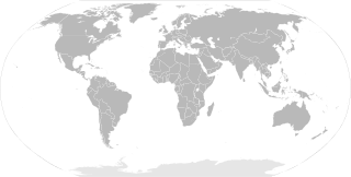
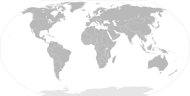
English: SVG Blank map of the world showing 1959 borders
Français : Carte muette du monde montrant les frontières de 1959, au format SVG. |
|||
| Թվական | ||||
| Աղբյուր |
|
|||
| Հեղինակ | Sémhur | |||
| Այլ մեկնակերպներ |
Derivative works of this file: | |||
| Հղում (required by the license) | © Sémhur / Wikimedia Commons / | |||
| SVG | Սա վեկտոր գրաֆիկական պատկեր է ստեղծված է եղել Inkscape օգնությամբ: .
|
|||
| Graphic Lab |

| Blank maps of the world for historical use | |
| pre-1800 | |
|
19th century | |
|
20th century | |
|
1902 · 1912 · 1914 · WWI · Aug 1918 · 1920 · 1921 · 1924 · 1926 · 1935 · 1937 · Mar 1938 · Oct 1938 · Mar 1939 · Oct 1939 · WWII · Nov 1942 · May 1945 · 1957 · 1959 · 1962 · 1968 · 1970 · 1985 · 1990 · 1993 | |
|
21st century | |
| (this template: · view · discuss ) | |
.PNG)
Արտոնագրում
| Copyleft: This work of art is free; you can redistribute it and/or modify it according to terms of the Free Art License. You will find a specimen of this license on the Copyleft Attitude site as well as on other sites. |
- Դուք ազատ եք՝
- կիսվել ստեղծագործությամբ – պատճենել, տարածել և փոխանցել այս աշխատանքը։
- վերափոխել – ադապտացնել աշխատանքը
- Պահպանելով հետևյալ պայմանները'
- հղում – Դուք պետք է նշեք հեղինակի (իրավատիրոջ) հղումը:
- համանման տարածում – Եթե դուք ձևափոխում եք, փոխակերպում, կամ այս աշխատանքի հիման վրա ստեղծում եք նոր աշխատանք, ապա ձեր ստեղծածը կարող է տարածվել միայն նույն կամ համարժեք թույլատրագրով։
Նիշքի պատմություն
Մատնահարեք օրվան/ժամին՝ նիշքի այդ պահին տեսքը դիտելու համար։
| Օր/Ժամ | Մանրապատկեր | Օբյեկտի չափը | Մասնակից | Մեկնաբանություն | |
|---|---|---|---|---|---|
| ընթացիկ | 10:20, 2 Հունիսի 2014 | | 940 × 477 (794 ԿԲ) | Sémhur | Valid SVG ; separate southern Ryukyu Island from Japan |
| 08:14, 25 Մայիսի 2008 |  | 940 × 477 (793 ԿԲ) | Sémhur | Group Pakistan and East-Pakistan (not yet Bangladesh in 1959) | |
| 17:16, 14 Ապրիլի 2008 |  | 940 × 477 (793 ԿԲ) | Sémhur | the bitmap... one more time | |
| 17:10, 14 Ապրիլի 2008 |  | 940 × 477 (794 ԿԲ) | Sémhur | {{Information |Description= {{en|SVG Blank map of the world showing 1959 borders.}} {{fr|Carte muette du monde montrant les frontières de 1959, au format SVG.}} |Source= * Image:BlankMap-World6.svg by {{u|Canuckguy}}, under licence Public Domain * [ |
Նիշքի օգտագործում
Այս նիշքին օգտագործող էջեր չկան։
Նիշքի համընդհանուր օգտագործում
Հետևյալ այլ վիքիները օգտագործում են այս նիշքը՝
- Օգտագործումը en.wikipedia.org կայքում
- Օգտագործումը fr.wikipedia.org կայքում
- Օգտագործումը ko.wikipedia.org կայքում
- Օգտագործումը nl.wikipedia.org կայքում