Պատկեր:Red.brick.flats.london.arp.jpg
Նախադիտման չափ՝ 800 × 538 պիքսել։ Այլ թույլտվությաններ: 320 × 215 պիքսել | 640 × 430 պիքսել | 1024 × 688 պիքսել | 1280 × 860 պիքսել | 2062 × 1386 պիքսել.
Սկզբնական նիշք (2062 × 1386 փիքսել, նիշքի չափը՝ 503 ԿԲ, MIME-տեսակը՝ image/jpeg)
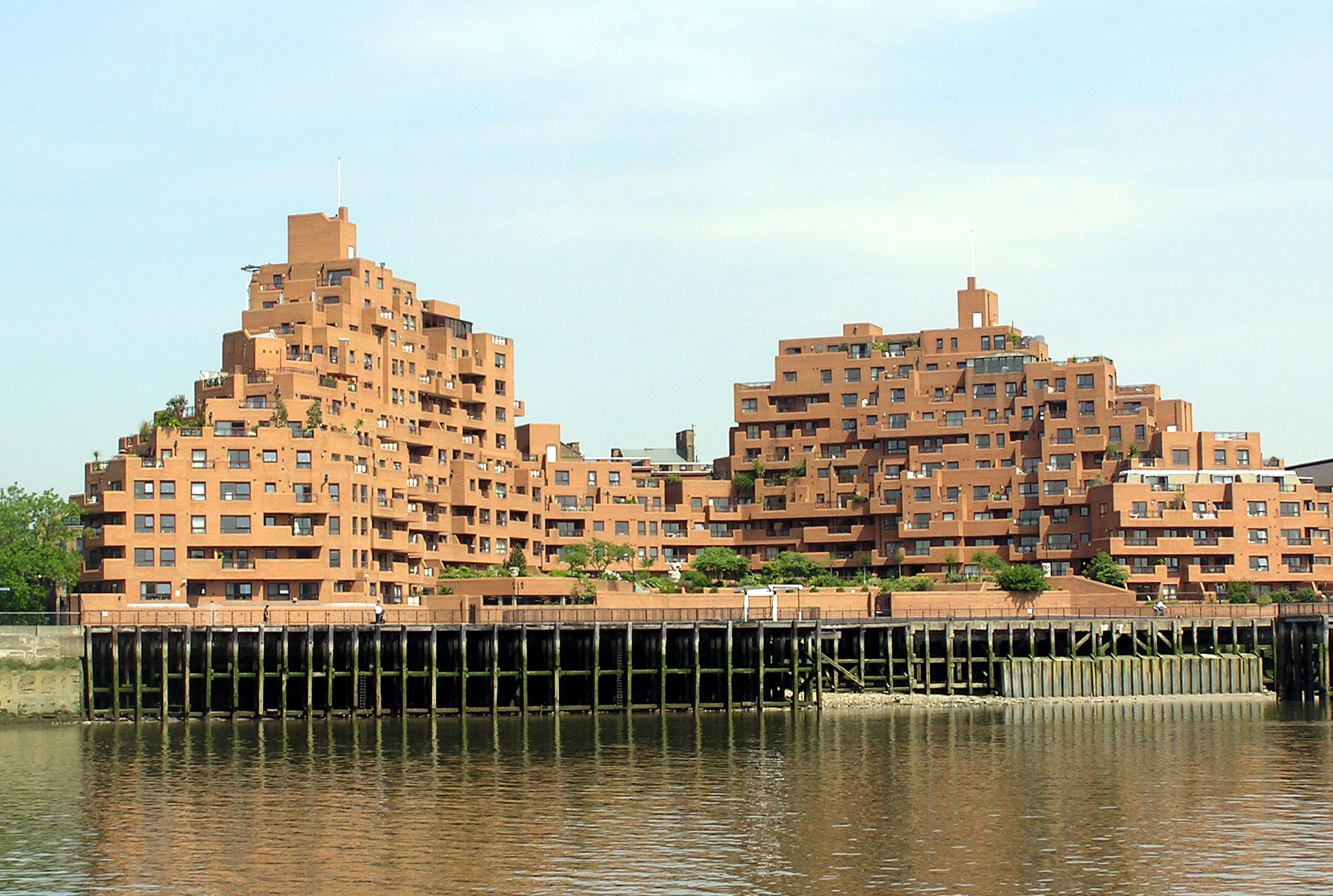
Free Trade Wharf, a development of 208 flats and two commercial units located on the North bank of the River Thames approximately one mile East of Tower Bridge. 340 The Highway, London Borough of Tower Hamlets E1W 3ET
- Origional description Red brick flats in central London, on the north bank of the Thames (a more detailed location is not known)
Photographed by Adrian Pingstone in June 2005 and released to the public domain.
| This work has been released into the public domain by its author, Arpingstone. This applies worldwide. In some countries this may not be legally possible; if so: |
| Տեսախցիկի տեղագրություն | | Այս և ուրիշ պատկերներ իրենց տեղագրությամբ OpenStreetMap |
|---|
Նիշքի պատմություն
Մատնահարեք օրվան/ժամին՝ նիշքի այդ պահին տեսքը դիտելու համար։
| Օր/Ժամ | Մանրապատկեր | Օբյեկտի չափը | Մասնակից | Մեկնաբանություն | |
|---|---|---|---|---|---|
| ընթացիկ | 19:26, 24 Հունիսի 2005 | | 2062 × 1386 (503 ԿԲ) | Arpingstone | London flats |
Նիշքի օգտագործում
Հետևյալ էջը հղվում է այս նիշքին՝
Նիշքի համընդհանուր օգտագործում
Հետևյալ այլ վիքիները օգտագործում են այս նիշքը՝
- Օգտագործումը en.wikipedia.org կայքում
- Օգտագործումը fr.wikipedia.org կայքում
- Օգտագործումը mn.wikipedia.org կայքում
- Օգտագործումը ms.wikipedia.org կայքում
- Օգտագործումը ta.wikipedia.org կայքում
- Օգտագործումը tr.wikipedia.org կայքում
- Օգտագործումը zh.wikipedia.org կայքում