Պատկեր:Hakkari districts.png
Նախադիտման չափ՝ 776 × 600 պիքսել։ Այլ թույլտվությաններ: 311 × 240 պիքսել | 621 × 480 պիքսել | 994 × 768 պիքսել | 1056 × 816 պիքսել.
Սկզբնական նիշք (1056 × 816 փիքսել, նիշքի չափը՝ 13 ԿԲ, MIME-տեսակը՝ image/png)
Ամփոփում
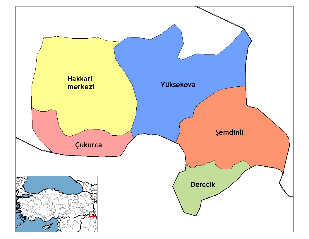
| Նկարագրում | Map of the districts of Hakkari province in Turkey. Created by Rarelibra 20:56, 1 December 2006 (UTC) for public domain use, using MapInfo Professional v8.5 and various mapping resources. Edited by One Homo Sapiens Corrected text where İ,Ş,ı,ğ,or ş occurs in name. Source: [statoids-com]. Increased font size and enhanced color differences among adjacent districts. Restored original dimensions. |
| Թվական | 1 Դեկտեմբեր 2006 (original upload date) |
| Աղբյուր | No machine-readable source provided. Own work assumed (based on copyright claims). |
| Հեղինակ | No machine-readable author provided. Rarelibra assumed (based on copyright claims). |
Արտոնագրում
| I, the copyright holder of this work, release this work into the public domain. This applies worldwide. In some countries this may not be legally possible; if so: I grant anyone the right to use this work for any purpose, without any conditions, unless such conditions are required by law. |
derivative works
Derivative works of this file:
Նիշքի պատմություն
Մատնահարեք օրվան/ժամին՝ նիշքի այդ պահին տեսքը դիտելու համար։
| Օր/Ժամ | Մանրապատկեր | Օբյեկտի չափը | Մասնակից | Մեկնաբանություն | |
|---|---|---|---|---|---|
| ընթացիկ | 17:51, 11 Դեկտեմբերի 2019 | | 1056 × 816 (13 ԿԲ) | NordNordWest | upd 2018 |
| 22:35, 28 Դեկտեմբերի 2008 |  | 1056 × 816 (20 ԿԲ) | One Homo Sapiens | Corrected text where İ,Ş,ı,ğ,or ş occurs in name. Source: [statoids-com]. Increased font size and enhanced color differences among adjacent districts. Restored original dimensions. | |
| 00:06, 28 Հոկտեմբերի 2007 |  | 948 × 770 (38 ԿԲ) | とある白い猫 | removing whitespace | |
| 13:04, 22 Հոկտեմբերի 2007 |  | 1056 × 816 (44 ԿԲ) | とある白い猫 | adding neigboring countries | |
| 13:01, 22 Հոկտեմբերի 2007 |  | 1056 × 816 (43 ԿԲ) | とある白い猫 | increasing text size | |
| 20:56, 1 Դեկտեմբերի 2006 |  | 1056 × 816 (24 ԿԲ) | Rarelibra | Map of the districts of Hakkari province in Turkey. Created by ~~~~ for public domain use, using MapInfo Professional v8.5 and various mapping resources. |
Նիշքի օգտագործում
Հետևյալ 2 էջերը հղվում են այս նիշքին՝
Նիշքի համընդհանուր օգտագործում
Հետևյալ այլ վիքիները օգտագործում են այս նիշքը՝
- Օգտագործումը ar.wikipedia.org կայքում
- Օգտագործումը arz.wikipedia.org կայքում
- Օգտագործումը ast.wikipedia.org կայքում
- Օգտագործումը azb.wikipedia.org կայքում
- Օգտագործումը az.wikipedia.org կայքում
- Օգտագործումը br.wikipedia.org կայքում
- Օգտագործումը ca.wikipedia.org կայքում
- Օգտագործումը ceb.wikipedia.org կայքում
- Օգտագործումը ckb.wikipedia.org կայքում
- Օգտագործումը cs.wikipedia.org կայքում
- Օգտագործումը cy.wikipedia.org կայքում
- Օգտագործումը de.wikipedia.org կայքում
- Hakkâri (Provinz)
- Hakkâri
- Şemdinli
- Yüksekova
- Çukurca
- Vorlage:Navigationsleiste Landkreise in Hakkâri
- Adaklı (Yüksekova)
- Bağdaş
- Akalın (Yüksekova)
- Akpınar (Yüksekova)
- Altınoluk (Yüksekova)
- Akçalı (Yüksekova)
- Akocak
- Aksu (Yüksekova)
- Armutdüzü
- Beşatlı
- Vorlage:Navigationsleiste Ortschaften im Landkreis Yüksekova
- Bulaklı
- Büyükçiftlik
- Dağlıca (Yüksekova)
- Dedeler
- Doğanlı (Yüksekova)
- Esendere
- Gürdere
- Kadıköy (Yüksekova)
- Karabey (Yüksekova)
- Karlı
- Kısıklı
- Kolbaşı
- Köprücük
- Köşkönü
- Pınargözü
- Salkımlı
- Serindere
- Suüstü
- Tuğlu
- Yeşiltaş
Տեսնել այս նիշքի ավելի համընդհանուր օգտագործումը: